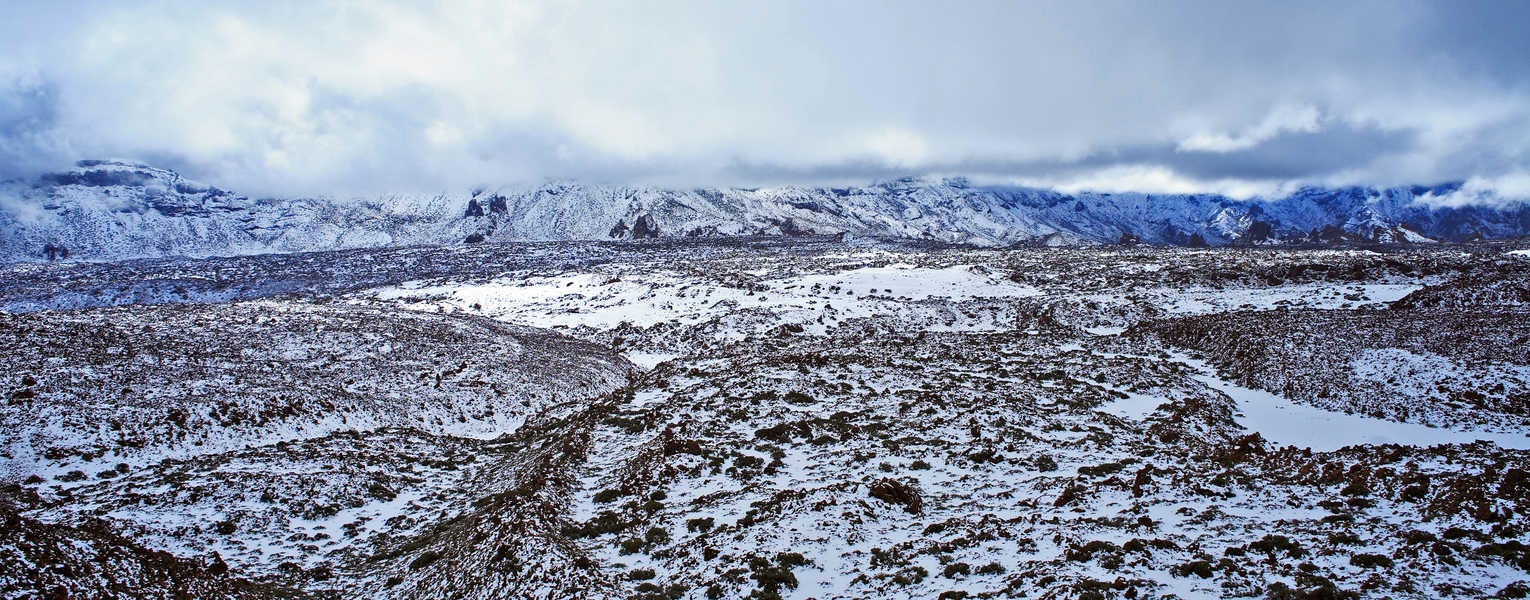
SwRI draws upon a variety of geoscience techniques to assess socially significant impacts from climate change and global change processes, including major geologic events like meteor strikes, volcanic events, and seismic events that may generate tsunamis. SwRI scientists and engineers offer the following capabilities:
- Optical and radar remote sensing data processing, analyses and change detection
- High-precision orthorectification and co-registration of imagery
- Ames Stereo Pipeline (ASP) photogrammetric production of digital terrain models and orthoimages
- Co-registration of Optically Sensed Images and Correlation (COSI-Corr)
- Multi-temporal image analysis, geospatial mapping, and interpretation
- Multispectral Data Displacement Analysis (MDDA)
- Interferometric Synthetic Aperture Radar (InSAR)
- Active contouring change detection
- Normalized Difference Index (NDI)
- Normalized Difference Vegetation Index (NDVI)
- Radar-derived soil moisture variation
- Permafrost degradation
- Geographic information systems (GIS)
- Data visualization
- Data modeling
- Data management
- Ground-truthing remotely sensed data using field-based measurements and Global Positioning Systems (GPS)
Cold Regions Research
SwRI specializes in identifying and quantifying regional climate impacts, especially in arctic and alpine cold regions where thawing permafrost, subsidence and slope instability impact citizens living in remote villages and civilian and military infrastructure. Using remote sensing, we have collaborated with researchers worldwide to quantify changes to Antarctic sea ice and permafrost regions in the Arctic tundra and European mountains.
Site Characterization & Geophysical Surveys
We conduct geophysical surveys to map subsurface geology, minerals and aggregate, and environmental contamination. This research helps identify impacts to local landscapes as well as ground and surface water sources. SwRI scientists and engineers with applied experience in geology, geophysics, and geolocation have developed cost-effective methods for comprehensive subsurface mapping using the following near-surface geophysical techniques:
- Electrical resistivity sounding and profiling (1-D through 3-D)
- Frequency-domain electromagnetics (e.g., ground conductivity)
- Time-domain electromagnetics
- Ground-penetrating radar
- Magnetics
- Gravity
- Magnetotellurics
Natural Hazard Assessment
As a leader in developing and applying probabilistic methods, SwRI develops hazard assessment technology that helps government and industry clients make informed decisions during preparation and event response. Qualitative and quantitative hazard analyses rely on site characterization capabilities, remote-sensing techniques, wireless sensor monitoring networks, high-end computer modeling, geologic principles, and laboratory studies to evaluate the potential for natural hazards such as:
- Volcanism
- Earthquakes
- Faulting and fracturing
- Landslides
- Floods
- Debris flows
- Tsunami
- Tornadoes
- Permafrost degradation
- Ground collapse and subsidence

