Images/videos may be used by the media and the public for educational and informational purposes only
Media Title
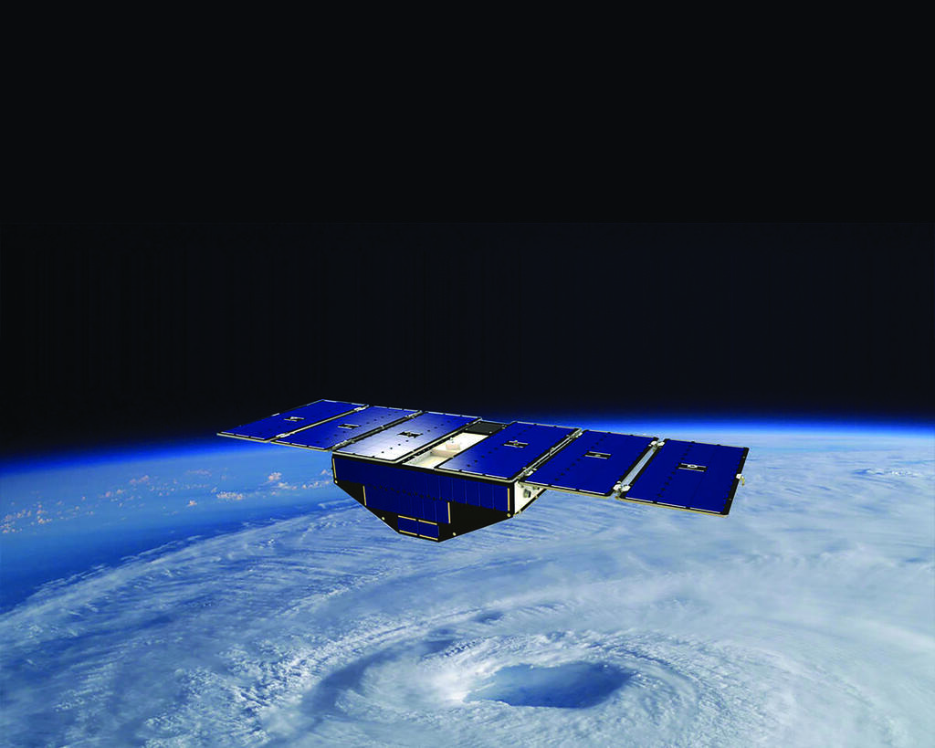
CYGNSS SMAP
Image

Image Courtesy of NASA/JPL-Caltech/GSFC
Caption
While designed to measure ocean winds during hurricanes, the SwRI-built CYGNSS satellites also make measurements over land. These data might prove complementary to SMAP soil moisture measurements.