Background
Southwest Research Institute (SwRI) funded a project to deploy sensor platforms for mobile data collection on municipal vehicles with collaboration from a local municipality. The city relies on communication with the public to ensure that problems are addressed in a timely manner and that residents are adequately served. City departments primarily rely on 311 calls from residents to drive operations, but this approach has numerous downsides. Automatic, proactive, and real-time sensing capabilities can alleviate these problems by automating detection and allowing a more efficient operation of the city’s departments.
Approach
City garbage trucks traverse nearly all city streets three times per week for garbage, recycling, and compost collection. This frequent traversal makes these vehicles well-suited to real-time data collection and analysis. As potholes are a frustration for residents, pothole detection was identified as a capability that could be developed in the near term, with a long-term goal of supporting further data collection and analysis initiatives for the development of additional capabilities.
Detection was focused on road cracks and degradation to account for limited pothole data. This data was much more prevalent and is an indicator that the road can deteriorate into a pothole if untreated since potholes are typically formed from cracks.
Accomplishments
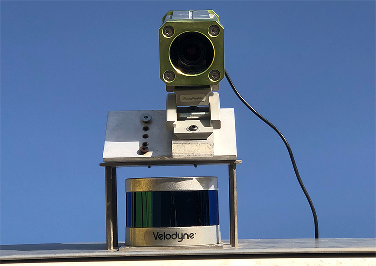
This project was successful in establishing an extensible sensor platform for data collection and analysis initiatives. The platform is shown in Figure 1.

Figure 1: Sensor Platform Mounted on SWMD Vehicle
The platform currently collects camera data from a downward facing angle, LIDAR data, and GPS data; it also has potential to collect camera data at other angles and other sensor data such as radar and cellular coverage. With the data obtained through this project, SwRI was able to create a machine learning algorithm that predicts if an image has road cracks with only a camera. The algorithm is able to detect road cracks with 95% accuracy on the test data set.
