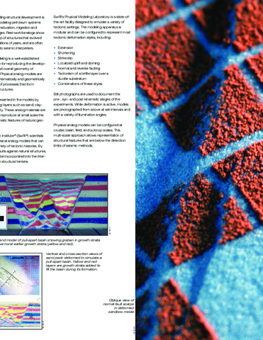
Physical analog modeling is a well-established laboratory technique for reproducing the developmental sequence and overall geometry of geologic structures. In the models, rock strata are represented by table-top scale analog layers such as:
- Sand
- Claycake
- Silicon putty
Analog models can be constructed and deformed in a number of ways to simulate real-world structures and test tectonic hypotheses. Construction of digital terrain models (DTMs) at different time steps, photography, and horizontal and vertical slicing of models enables in-depth characterization and quantification of model results.
The analog materials and deformation styles are selected to reproduce, at small scale, geometric and kinematic features of natural geologic structures. To simulate development of the geologic structures, the analog layers are deformed consistent with the observable geology.
For more information on planetary science applications, contact Danielle Wyrick or call +1 210 522 6837. For energy applications, contact Kevin Smart or call +1 210 522 5859.
Physical Modeling Laboratory
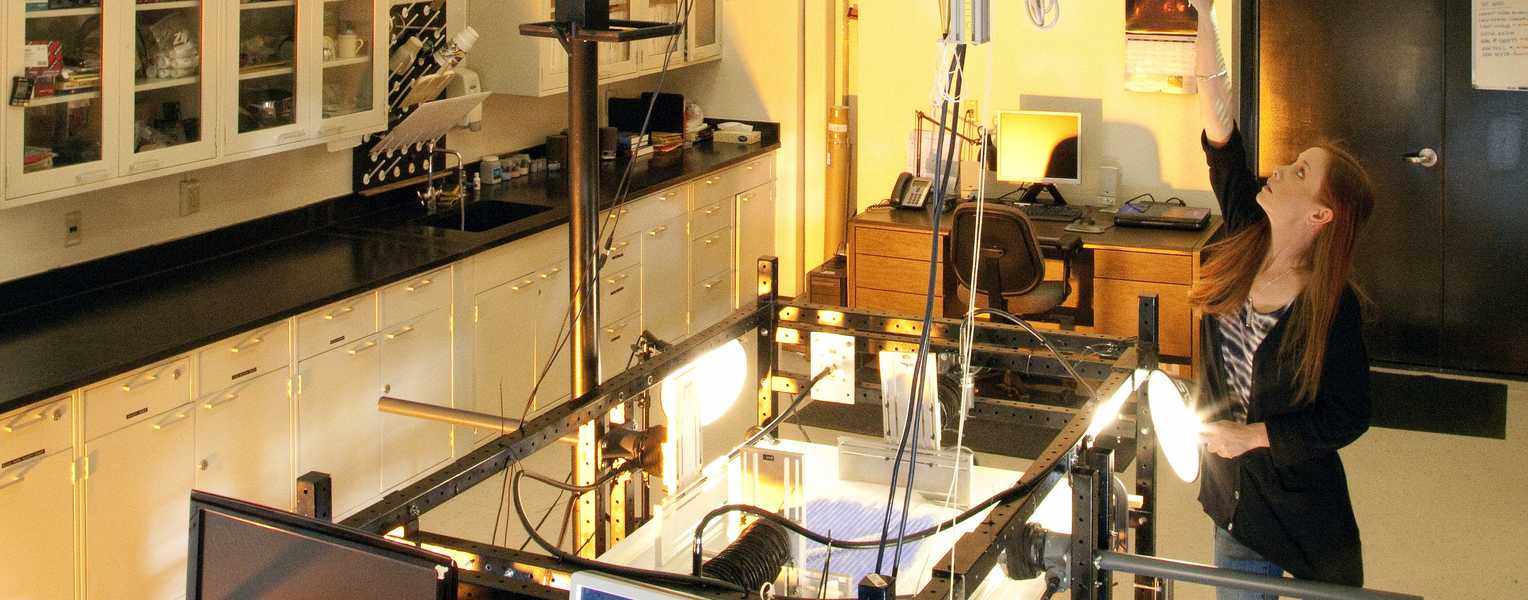
The Southwest Research Institute (SwRI) Physical Modeling Laboratory is a state-of-the-art facility designed to emulate a variety of tectonic settings for both oil and gas and planetary science applications. Updates and modifications increase the range of simulated geologic environments and maintain SwRI capabilities as an innovator in the field. Displacements are imparted to the models by gravity or programmable motor drives. The apparatus can be configured to represent most tectonic deformation style or combinations of these styles, for example:
- Extension (normal faulting)
- Contraction (reverse faulting)
- Strike-slip faulting
- Localized uplift or doming
- Deformation of a brittle layer over a ductile substratum
Physical Analog Model Applications
Physical analog models:
- Allow seismic interpreters to see three-dimensional (3D), kinematically and geometrically realistic simulations of geologic structures. Physical analog models are particularly useful for exploring fault system kinematics where real world analogs are not accessible
- Provide quantitative data for input to seismic interpretation and numerical models, including finite element modeling and reservoir simulation
- Can be configured at a range of scales: crustal, basin, field, and outcrop, including structures below the detection limits of seismic methods
- Show geometric development of complex structures (data vital for modeling the petroleum system through maturation, migration, and reservoir charge stages)
- Can be used to test a variety of tectonic histories. By calibrating model results against natural structures, tectonic history can be incorporated into the interpretation of complex structures
- Aid in the interpretation of fractured reservoirs, including information on fracture density and fracture orientation
- Provide understanding of fault geometry in faulted reservoirs or faulted aquifers.
Photography
Still photographs are used to document the pre-, syn-, and post-kinematic stages of the experiments. While deformation is active, models are photographed from above at set intervals and with a variety of illumination angles. Photographs are also taken from various angles and magnifications throughout the experiment and are keyed to displacement magnitude. Vertical and horizontal slicing after model deformation allows analysis and photography of the internal structure of the model.


