Background
Natural fracture networks are important conduits for fluid flow in the subsurface. Fracture attributes and patterns exhibit significant variability in 3D, which strongly controls the hydraulic properties of rock volumes at depth. As fractures are below the detection limits of most geophysical imaging (e.g., 3D seismic reflection data) and direct in situ information from well logging (e.g., image logs) is sparse or unavailable, accurate prediction of fracture properties is of key importance for subsurface characterization. This has implications for modeling and understanding fluid flow pathways in oil and gas production, groundwater management, geothermal energy extraction, and CO2 sequestration, among other applications. Surface geologic exposures (outcrops) can provide detailed fracture information that may be used to guide predictions in analogous subsurface settings. Outcrop-based research has led to the establishment of some general relationships, but studies have shown that a complex range of factors may interact to define fracture network properties.
Approach
This project combines new techniques in data acquisition, processing, and analysis to more fully sample outcrop exposures than is currently achievable through traditional methods, and it leverages these data to improve fracture prediction in the subsurface. Close-range remote sensing techniques and semiautomatic feature detection are combined with multiple variable statistical analysis to determine how structural and stratigraphic controls combine to determine fracture network characteristics at outcrop scale. Statistical analysis is used to analyze outputs (e.g., fracture intensity) and simultaneously assess multiple geological variables. This data-driven approach will lead to improvements in subsurface prediction of fracture properties.
Accomplishments
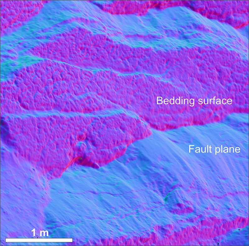
Acquisition and processing of photogrammetric data, achieving sub-cm-resolution for point-cloud reconstructions at multiple outcrop exposures of sedimentary strata in central and west Texas.
Development of new protocols and methods for post-processing photogrammetric point-clouds and generating high-resolution surfaces for geological analysis. Allows geospatial data to be filtered, removing vegetation, soil, etc., using a semiautomatic approach.
Assessment of semiautomatic extraction of fracture data in 2D and 3D. Results show that automated approaches require substantial user input and that future work is required to refine semiautomatic approaches.
Development of a directional approach to fracture intensity calculations which allows intensity of fracture population subsets to be assessed with respect to structural and stratigraphic variables.
Quantitative assessment of fracture geometry variability in 3D. Characterization of changes in fracture length, intensity, and orientation both laterally and vertically.

Figure 1: Orientation-colored, sub-cm-resolution photogrammetric point cloud showing complex fault geometries at outcrop.
